We no longer offer property photography to private clients. If you are a company client or estate agent, please get in touch.
Drone photography will increase the saleability of your residential property.
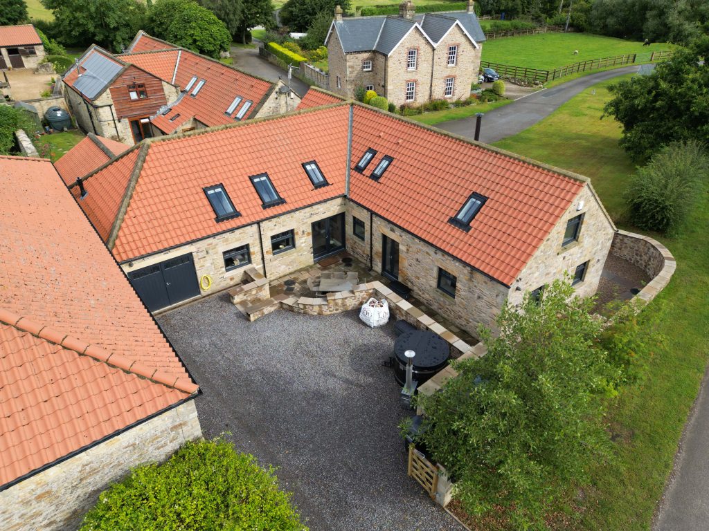
Often Google’s aerial maps and Google Earth’s aerial views via satellite are out of date and do not reflect the true picture. Our aerial photography can be taken from ground level to 400ft to show a current and accurate layout.
Our team of pilots can take aerial photos of your property, showing all the details and areas that could normally be inaccessible. These images can help potential buyers see what they are actually buying, increasing interest. Houses and apartments that look plain at ground level can be invigorated using drone aerial shoots.
Using quality interior and exterior images coupled with aerial photography is a winning sales combination.
For tight deadlines, we can offer a same day turnaround.
Please contact us for a quote or more information.